File:Leyte-1944.jpg
Jump to navigation
Jump to search
Size of this preview: 779 × 600 pixels. Other resolution: 1,260 × 970 pixels.
Original file (1,260 × 970 pixels, file size: 228 KB, MIME type: image/jpeg)
Summary
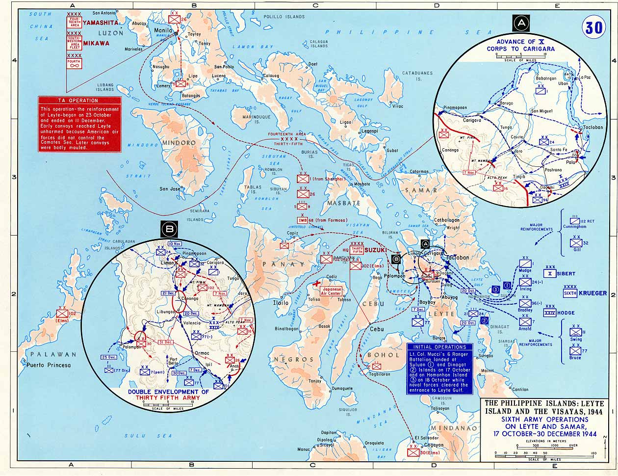
map of Leyte Gulf, 1944
made by US Government [West Point Atlas]
url = [1]
Licensing/Copyright status
File history
Click on a date/time to view the file as it appeared at that time.
| Date/Time | Thumbnail | Dimensions | User | Comment | |
|---|---|---|---|---|---|
| current | 19:53, 11 March 2022 | | 1,260 × 970 (228 KB) | Maintenance script (talk | contribs) | == Summary == Importing file |
You cannot overwrite this file.
File usage
The following 2 pages use this file: